Thursday, August 26, 2010

The Richardson Highway--Delta to Paxton


On the Richardson Highway south of Delta Junction. Donnelly Dome rises to the right.


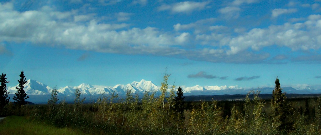
The Alaska Range--Mt. Hayes, Mt. Hess and Mt. Deborah--as seen from the Richardson Highway, south of Donnelly Dome.


Black Rapids Glacier advanced three miles during the winter of 1937, threatening to engulf the highway. It has retreated since then until little ice is visible but the glacier left a scar across the face of the slopes.


The Delta River at Black Rapids


Augustana Creek cuts through a slope to join with the Delta River near Black Rapids.

On The Richardson Highway--Fairbanks to Delta


On the Richardson Highway heading south from Fairbanks--about nine in the morning. We encountered a stretch of fog along the Tanana River south of Eielson AFB. You can see the first of it in the distance.


From the Tanana Valley, the closest peaks of the Alaska Range---Mt. Hayes, Mt. Hess and Mt. Deborah-- wear a fresh coat of snow. The first snow of the season is known as "termination dust" and paints a ruler-straight line across the slopes.

Wednesday, August 25, 2010

Monday, August 23, 2010

Thursday, August 19, 2010

Wednesday, August 18, 2010

Good-Bye to a Favorite "Uncle"

I didn't agree with his politics but never doubted his love of Alaska and his commitment to bettering our state.

I found this photo of him on the web a few years ago and it charmed me, giving me a different perspective on the crusty old Senator.


Good-bye, Uncle Ted--and thanks for your public service.

Sunday, March 7, 2010

Spring Blizzard


See the entire album on Facebook.